")
")

![]()
Thematic Trails
GLACIOLOGICAL TRAIL
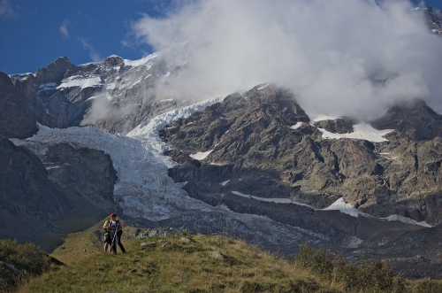
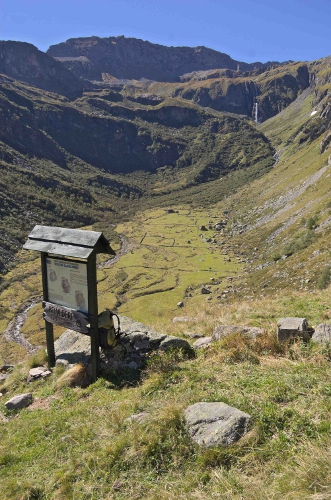
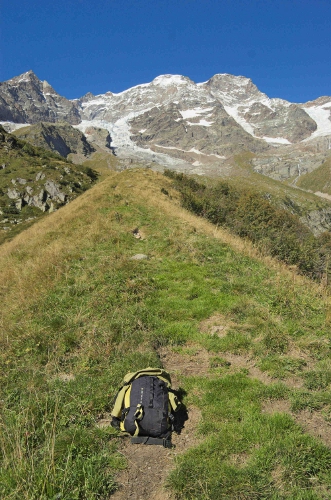
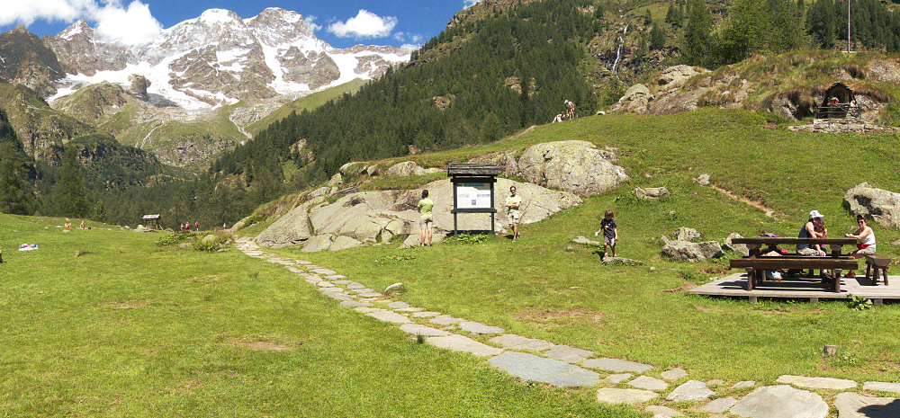
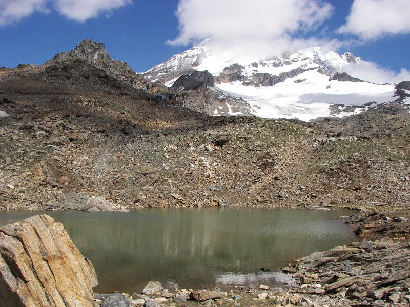
The Glaciological Trail in Alagna, among the few of its kind in Italy, follows part of the Sesia Valley and then enters the Bors side valley, along a comfortable path taking a maximum of 2 hours. The trail starts at an altitude of 1500 m at Acqua Bianca and ends at the Alp Fun d'Ekku, at 2070 m. The route offers an outstanding view of the south face of the Monte Rosa massif; along the way there are some panels for the hiker, showing the action of the glaciers and their effects, with short texts which are easy to understand, illustrated by numerous images.
At each stage it is possible to discover the shapes of a glacial valley, seeing cirques, hanging valleys, waterfalls and glacial gorges. There are pot holes and rocks smoothed by the action of the ice, and it is possible to read information on the climatic changes of the past and those related to the last million years, during which the great glaciations occurred.
The last stretch of the route is a spectacular walk along the ridge of a lateral moraine to the Fun d'Ekku alps, end-point of the route and a wonderful overlook onto the glaciers of the southern side of Mount Rosa.
CIMALEGNA GEOLOGICAL-PEDOLOGICAL TRAIL
This path is at an altitude of about 3000 meters, with 8 explanatory panels illustrating the geological history of this sector of the Alpine chain, the main rocks visible and their soils. The trail starts from the Passo dei Salati, at 2936 m, descends to the historic Angelo Mosso Scientific Institute, at Lake Bowditch and continues to the former Rifugio Vigevano; then it goes west to Col d'Olen (2881 m) and climbs up to the Corno del Camoscio (3024 m) where a 360° panoramic view shows the southern side of Monte Rosa, the Sesia and the Gressoney valleys; the route finally descends towards the north, returning to Passo dei Salati.
The plateau of Cimalegna, on which the route winds, is a glacial plateau and an ideal place to examine the geological history of the north-western Alps, with particular regard to the geological dynamics of the last 200 million years. The panels explain, with pictures and sketches, the geological history of this area starting from an ancient ocean, Tethys, up to the formation of the Alps, also dwelling on the soils, which have developed in unusual conditions due to the presence of an almost flat area at high altitude and with extreme weather conditions.
RIVALENTI PATH
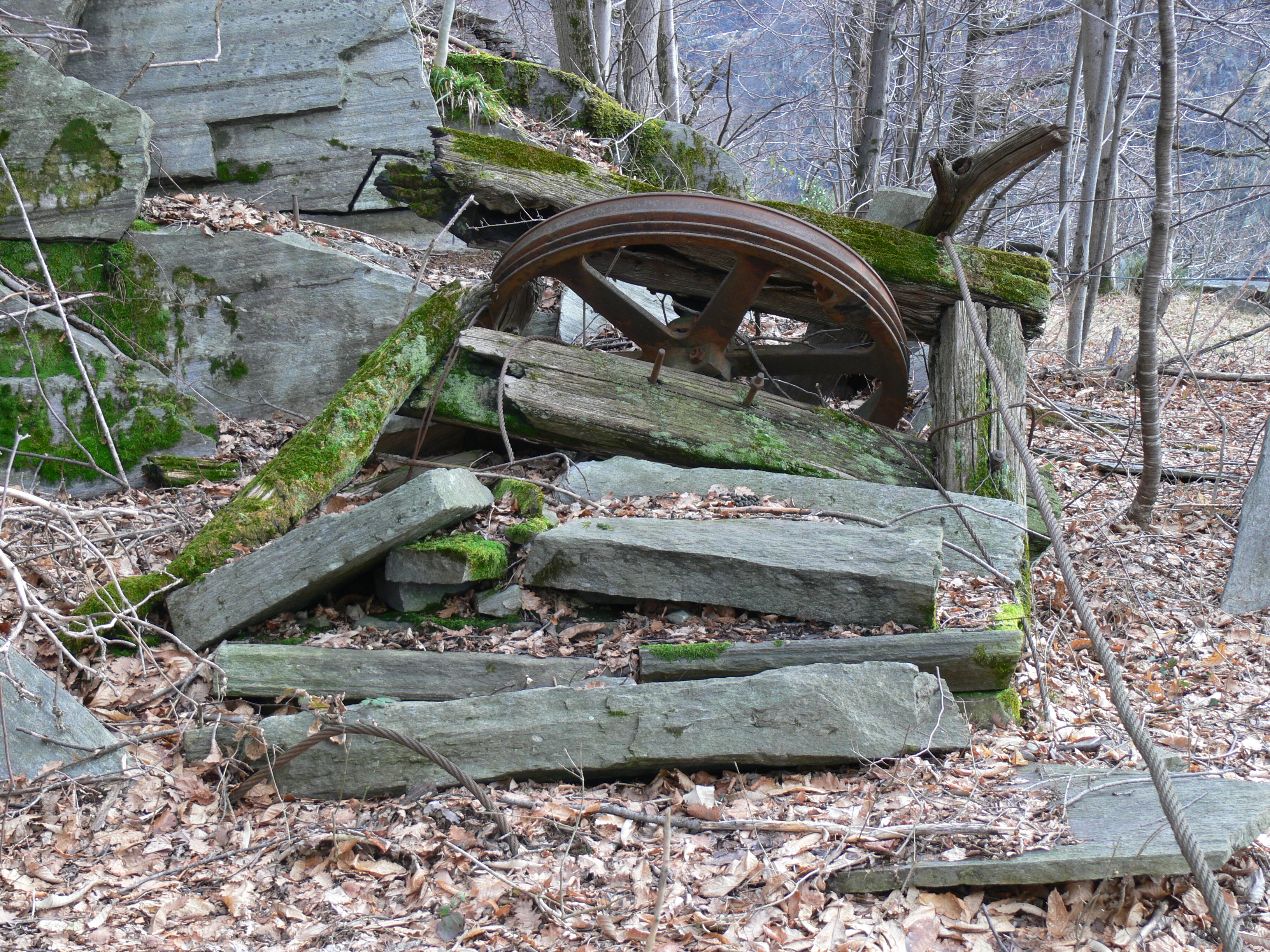
Made in the summer of 2014, thanks to the GAL Terre del Sesia (Local Action Group) and the municipality of Vocca (VC), the path is reached from Isola di Vocca; it is a short and easy route that allows tourists and scholars to reach the rocks of the deep crust along the river Sesia. They are the deepest rocks of the magmatic system of the ancient volcano, and were formed at a depth of about 25 km, being deformed while they crystallized.
The path, by the will of his pupil Professor Silvano Sinigoi, was dedicated to Professor Giorgio Rivalenti, an authority in the field of geology, former Professor of Petrology and Petrography at the University of Modena, who focussed his research on the Ivrea-Verbano area.
THE USE OF STONE
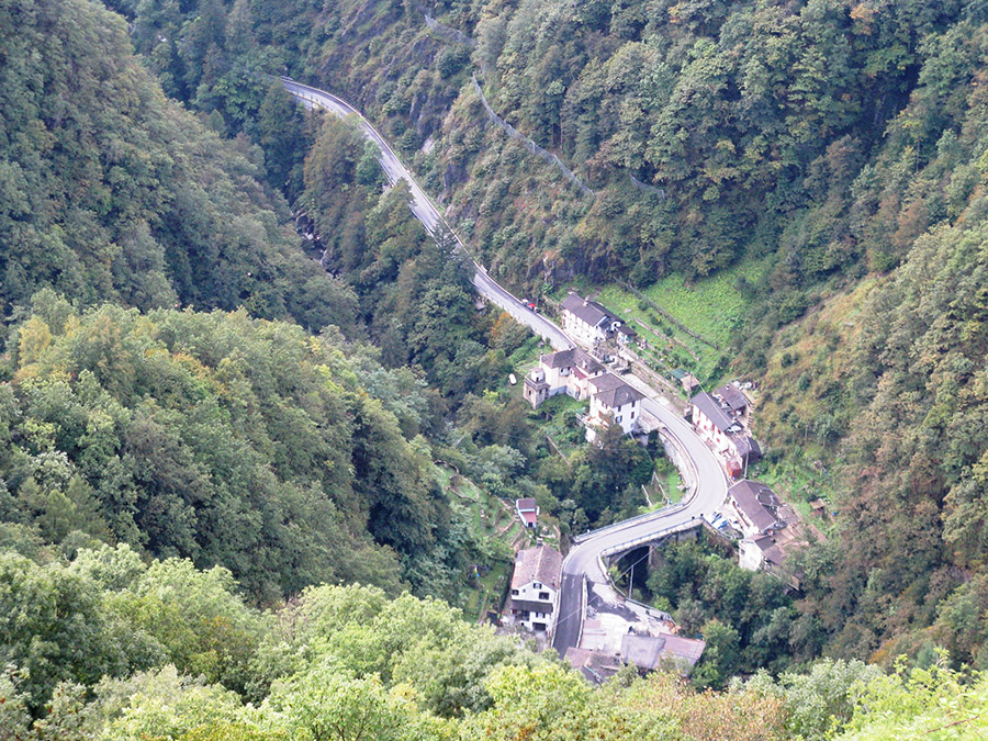
The trail is in the territory of the municipality of Beura and focuses on the secular history which connects the population of these mountains with the use of the stone. Streets, mule tracks, walls, supports, tools of everyday life, both rustic buildings and stately homes, everything was made with local stone. Commercially known as "beola", this stone has been the building material par excellence since antiquity. It is still quarried today in the Beura area in three different varieties, and is especially appreciated as a facing material.
In about an hour (plus time for stops) you can reach the end of the path, which has a difference in height of 279 m and it is easily walkable, even if there are some steep stretches. The itinerary, illustrated by 11 panels, starts from the Town Hall of Beura, crosses the built-up area and climbs up along the well-marked paved road that leads to Bissoggio.
The departure can also be reached by train on the Milan-Domodossola FS line.
Information: www.parcovalgrande.it/
GEOLOGICAL TALES: TRAVEL IN SPACE AND TIME IN THE DEPTH OF THE EARTH
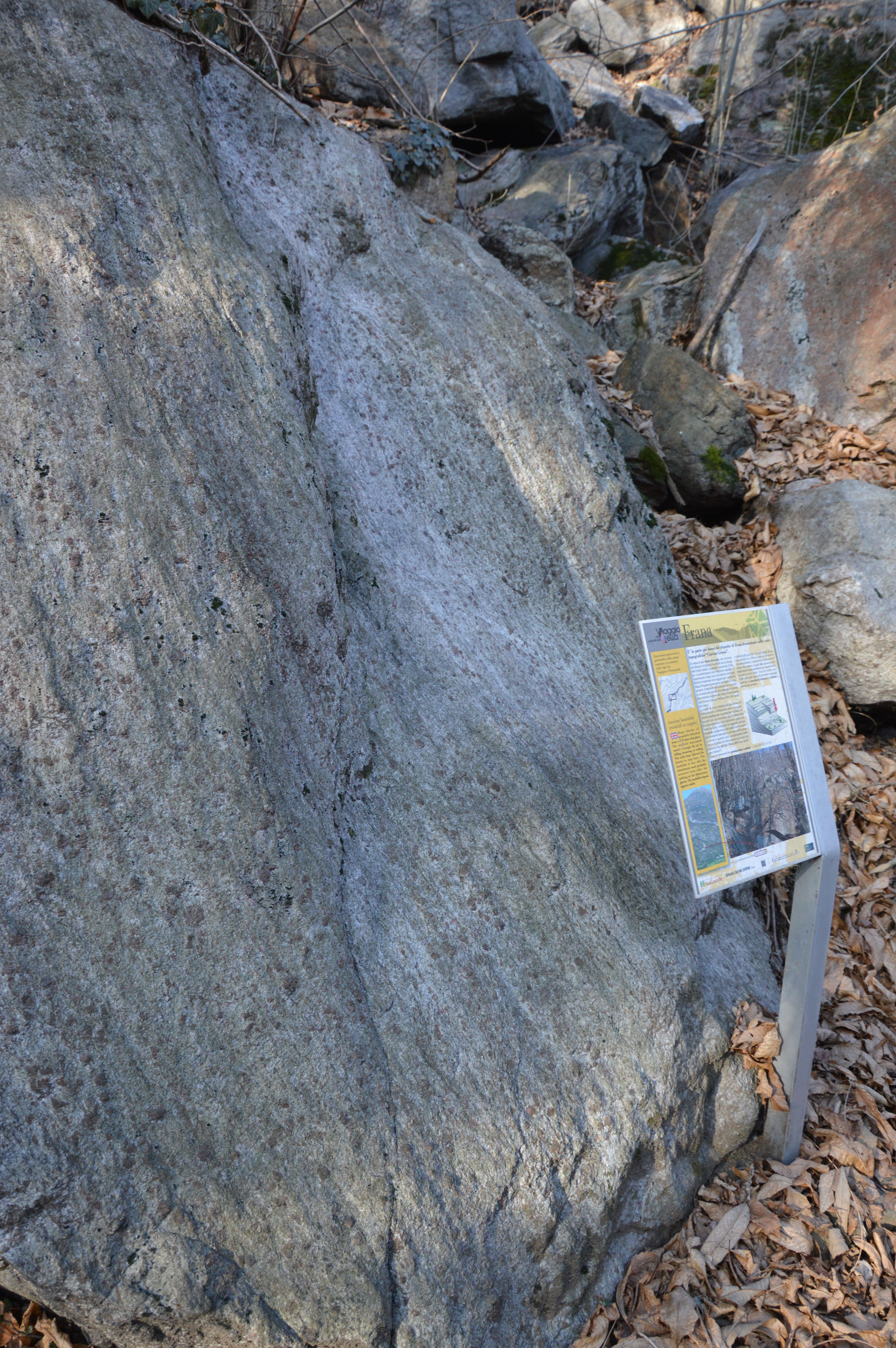
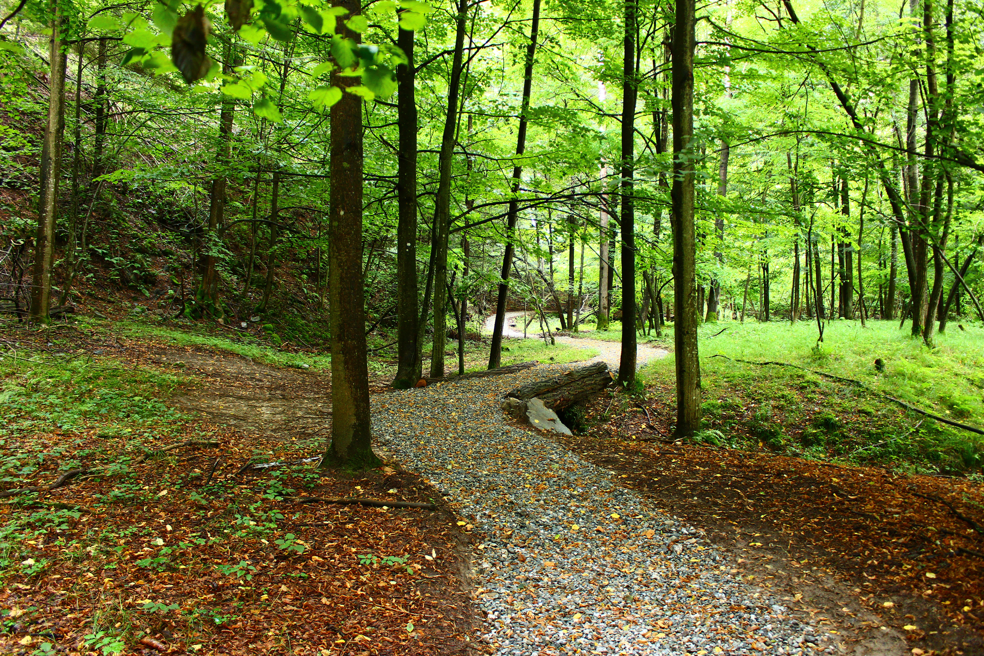
The geological trail between Vogogna and Premosello Chiovenda is an itinerary with panels that illustrate a clear section through the continental crust, with rocks formed at different depths and at different times. The route is simple and clearly defined but with some exposed stretches.
It starts from the castle of Vogogna, climbing up towards the “Rocca”, and then continues along the rocky cliffs overlooking the plain of the Toce river up to Premosello. During the walk we pass from the European paleocontinent, involved in the genesis of the Alps (50 - 30 million years ago), to the African paleocontinent, which preserves rocks and structures formed about 300 million years ago. In the most western part it is possible to see how the rocks have been deformed by friction along the "Canavese Line" (which is part of the fault system called the "Insubric Line") until it reaches rocks that belonged to the Earth's mantle, normally at a depth of 30-35 km and here brought back to the surface by tectonic processes. Along the way it is possible to make another interesting encounter: so-called pseudotachylites, rocks that testify to ancient earthquakes. A panoramic view-point over the valley below lets visitors see clearly the effects of the former extensive glaciers on the landscape.
Information: www.parcovalgrande.it/
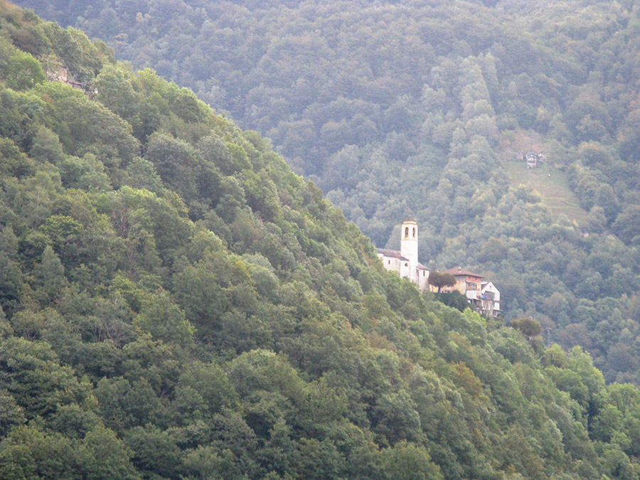
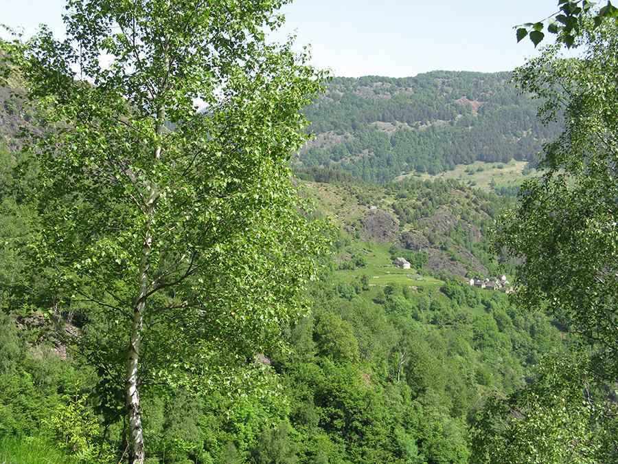
VAL CANNOBINA
This is an area of exceptional geological interest as well as being of interest both for its landscape and its environment.
In this area the intermediate continental crust, with rocks normally present at depths between 15 and 35 km, can be clearly seen. There are at least three hiking trails of great geological interest, where the characteristics of the places (such as the shapes, lines and colors) highlight the historical evolution of the rocks and the processes, such as glaciations or river erosion, involved.
A small geological museum of the Cannobina Valley has been set up in Gurro, along the second route among those described below.
ROUTE N. 1: ORASSO – SPOCCIA
The itinerary starts from the square of Orasso village and follows the Rio Orasso valley. After passing through the village of Orasso, located on a typical moraine terrace, the path enters a dense oak, beech and chestnut forest, which still reveals precious evidence of ancient mountain culture (walls, terraces, old lawns now growing wild, tanks for processing hemp, and remains of old rural houses). In the walls you can find some rounded ochre-colored rocks which are peridotites. Along the route you can see evidence of glaciers as well as numerous torrents, which descend from the south side of Mount Gridone eroding deeply - an example is the gorge of the Rio Gana. In the first part of the route you can see outcrops of some typical rocks such as kinzigites and pegmatites. Then, after passing a small mountain pasture (Alpe Gheppio) the footpath goes down to the village of Spoccia. In this stretch towards the town the presence of numerous veins in the outcropping appinites and mylonites is interesting.
This hiking itinerary is easy; it has a difference in height of 300 m and without snow it is walkable all year round.
ROUTE N. 2: ORASSO - CURSOLO - GURRO - DAILA – PROVOLA
The itinerary starts from the square of Orasso village going towards Cursolo village, along the route of the ancient trade road of the XII century, and later named the "Strada Borromea" in memory of a pastoral visit of Cardinal Borromeo, bishop of Milan, in 1574.
Along the way, artifacts and other evidence of the old way of life in the mountains can be seen by the hiker. A visit to the Oratorio del Sasso is also recommended: it is testimony to popular religiosity, with some of the most ancient frescoes of the valley which have been recently restored.
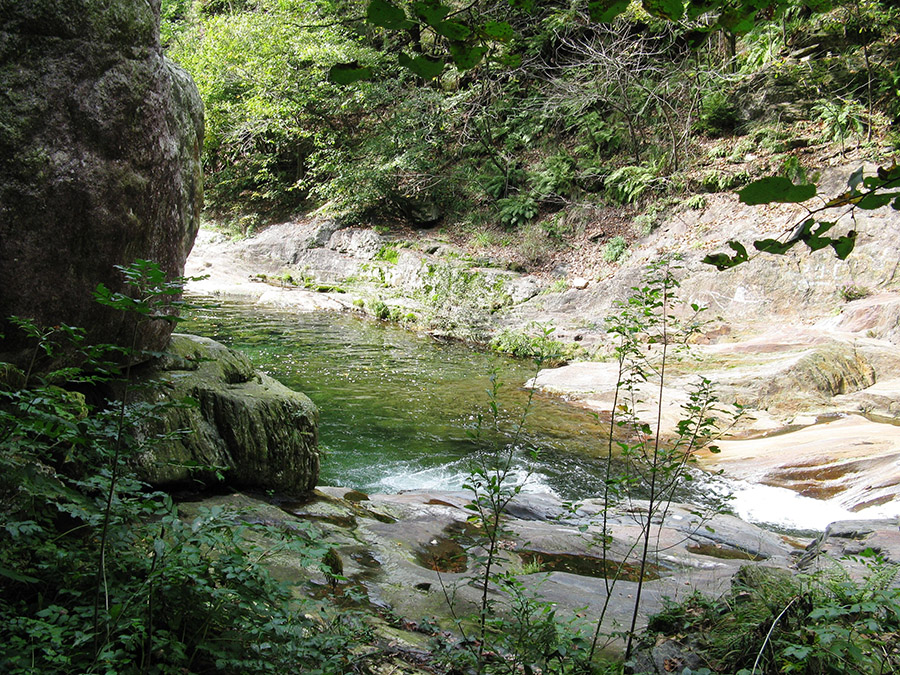
Shortly before reaching Cursolo, the path passes a river with interesting geomorphological features (Rio Eira) and immediately after an old mill, the path descends towards the Airetta hamlet, and then downstream to cross the Cannobino torrent on a little bridge (Teia bridge), which goes beyond one of the deepest and most evocative river erosion gorges. Here in the past, the logs were floated down the stream to get the timber to Cannobio. Fluvial terraces, erratic boulders like the Gurro one, remnants of an old marble quarry ... all attract the interest of the hiker.
After passing through the village of Gurro, with its geological museum of the valley, it is possible to reach the small alps of Daila and Provola, located on the ancient valley floor, where it is easy to recognize an ancient peat bog and ancient sheepback rocks (“roches moutonnées”), evidence of the passage of a glacier.
The route has a difference in height of 440 m and without snow it is walkable all year round.
PERCORSO N. 3: ORASSO - MONTE TORRIGGIA

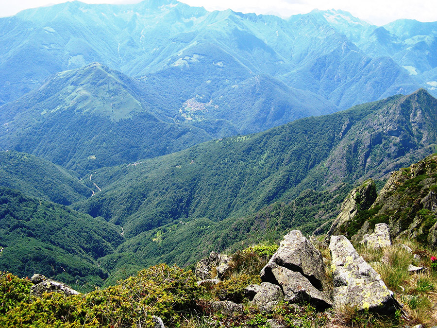
The climb to Monte Torriggia gives wonderful views of both Valle Vigezzo and Valle Cannobina, up to the Monte Rosa massif, and also a panoramic view of the Sesia Val Grande Geopark area. Starting from the square in Orasso, and before reaching the hamlet of Monte Vecchio, the path passes an erratic boulder, confirming the role of glaciers in shaping the area. This boulder also has some engravings on it There are also frequent outcrops of the kinzigites, typical rocks of the area.
During the ascent the view extends beyond the valley, towards Mount Zeda and the basin of Gurro. After passing Monte Vecchio, the path enters a thick beech forest to approach the summit, with its rocky gabbro spires. A steep ridge finally brings the walker to the summit of Monte Torriggia, with a dense wood of "mugo pines" growing abundant and lush.
The hiking and route has a vertical drop of 1000 m; it is a hiking itinerary of medium difficulty; with a difference in height of 1000 m and and the recommended time is April to November.
Parco Nazionale Val Grande
This email address is being protected from spambots. You need JavaScript enabled to view it.
Ass. Sesia Valgrande Geopark
This email address is being protected from spambots. You need JavaScript enabled to view it.
Ente di Gestione delle Aree Protette della Valle Sesia
This email address is being protected from spambots. You need JavaScript enabled to view it.